
Soaring blue skies, idyllic hilltop pathways, and lost tracks through mysterious woodland…
Wednesday 11th March 2026
Walk start time: 8.59am
Walk finish time: 11.02am
Walk area: Lost footpaths – Maritime, Penycoedcae, Graig
Miles walked: 2.6
A clear sunny day sits between two stormy fronts, and it’s impossible not to heed its call.
The roof battering rain of last night, combined with the fact that I have hurt my back, is a threat to today’s exploration, but in the end, the sublime freshness of the spring morning wins.
I’m not afraid of mud, I desperately need to be outside, and I’m now dosed up on painkillers – so I set off at a gentle stroll.
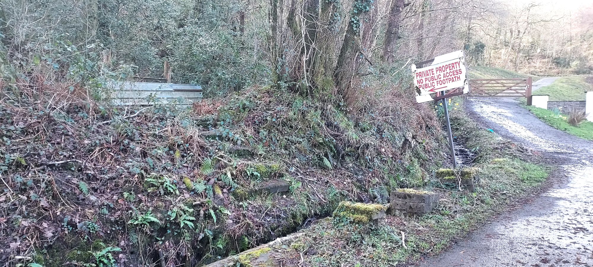
My walk start proper opens with the grand majesty of an aluminium panel -a less than sophisticated sign a few feet away indicating the questionable presence of a footpath.
Something about aluminium panels doesn’t scream, Look! Come and walk here! There’s a lovely pathway! And it doesn’t do much to encourage the random walker.
I must come back with reinforcements and build a stile…
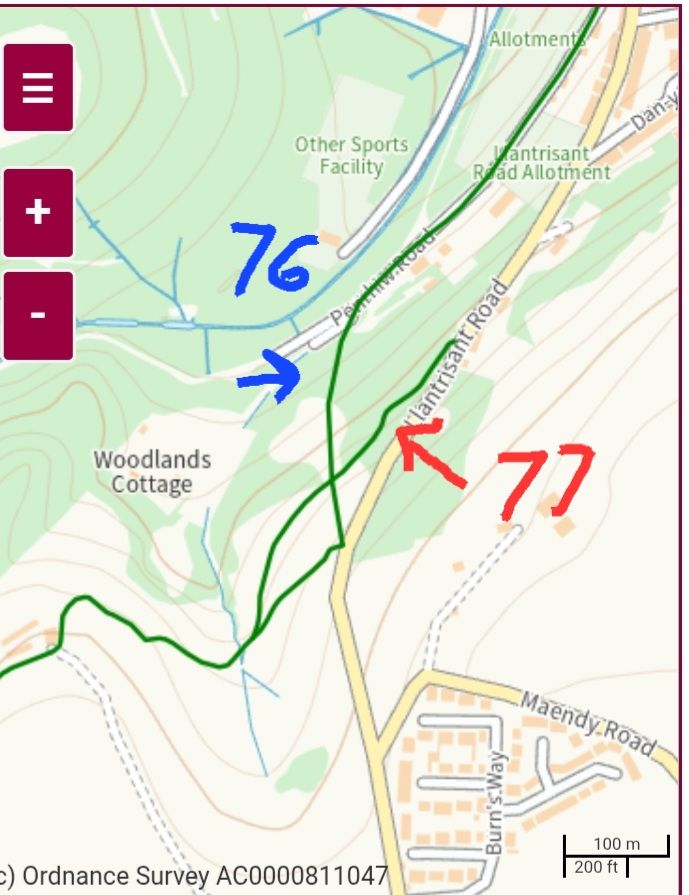
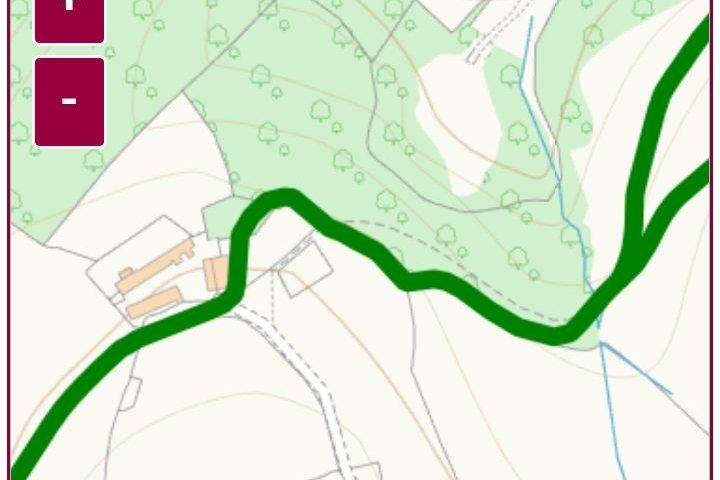
My intended exploration today is route no 76 on the RCT definitive map, and maybe the apparently elusive path 77. In theory, these routes should link up the Maesycoed and Maritime areas to the lanes of Penycoedcae, as well as the top of the Graig on Llantrisant Road.
I walked this way once before, in Adventure beyond the fallen oak, but the trees were green, thistles high, and the brambles partying in the height of last summer.
I was never happy that I had actually found the right pathway then, and today, I have a good study of the line and direction pathway 76 is supposed to take.
The first stretch is simply a nice path down a back road past some allotments, beyond that, is where it goes a little more pear-shaped.
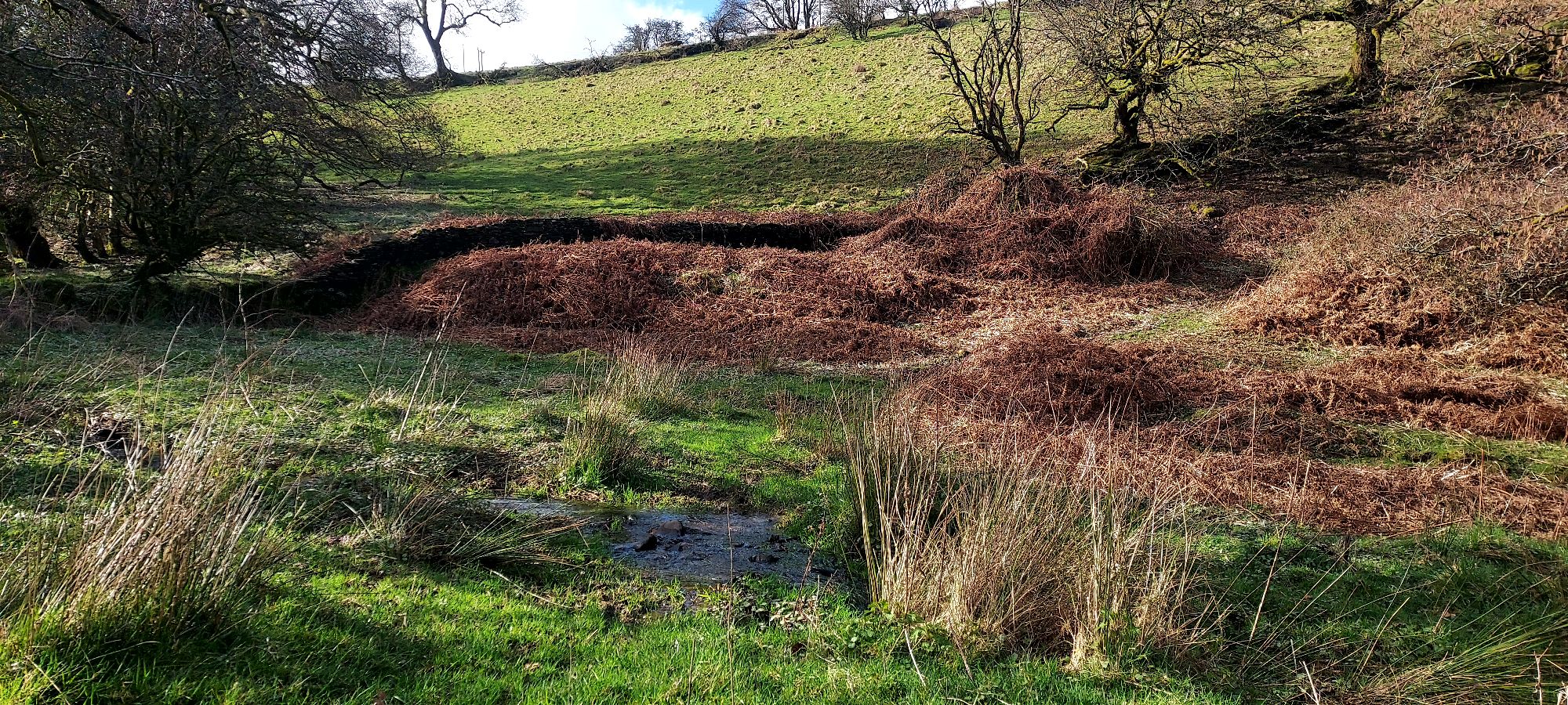
Climbing gracelessly over the panel, I cross a muddy stream and up a little slope. The world hushes a little, and the sound of the babbling water behind me calms my senses as I stand, once more, in a little clearing with no obvious pathway in any direction.
The woodlands here at Maritime are historically quite new, rambling as they do in part over old mining spoil from Maritime Colliery, and incorporating the sites of many of the mine workings and shafts themselves from the smaller Pen-Y-Rhiw colliery.
I am fascinated by the history of Welsh mining, but beyond that, by the evolution of the valleys landscape in its aftermath.
Every year here, the once brutalised, black and barren landscapes are being reclaimed, reborn, and re-imagined by nature. Done right, and letting nature take the reins, we have spaces here where wildlife and diversity can flourish and thrive.
Birdsong surrounds me, and I feel directionless, but calm. At peace with a secret little bit of woodland I have climbed into. Successfully finding the footpaths would be great, but what matters is that I’m here.
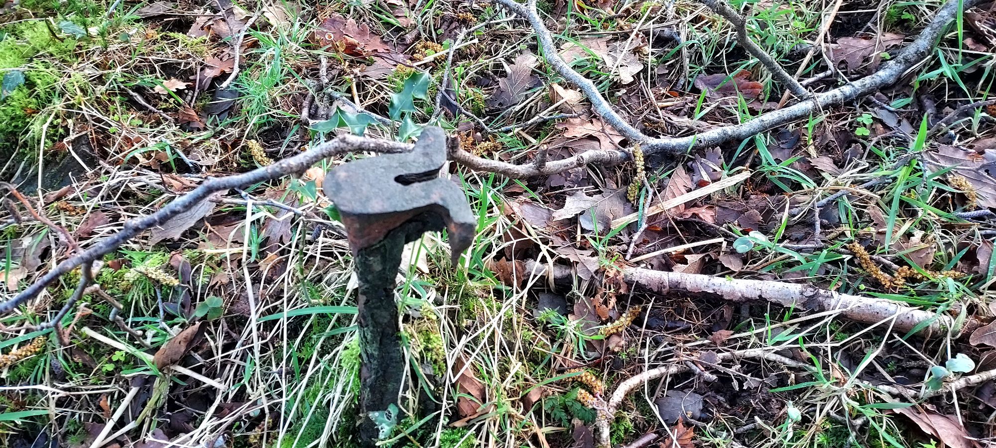
As I explore the little clearing, surveying my options, my foot nudges an unidentified object which is clearly not a tree stump. It sits peculiarly here on its own, in a stretch of woodland, is it an old bit of fence? something discarded? I am intrigued as to whether it could be a remnant from our mining past…
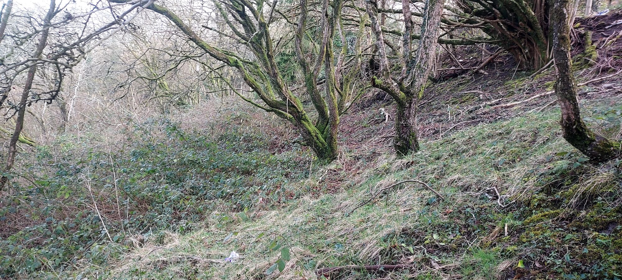
To my right from the clearing, is the line through the forest I took once before, tracking close to the bank of the stream – an apparent path which quickly disappeared.
To the left, invitingly flattened patches of grass and bracken hint at tracks, but they head in the wrong direction.
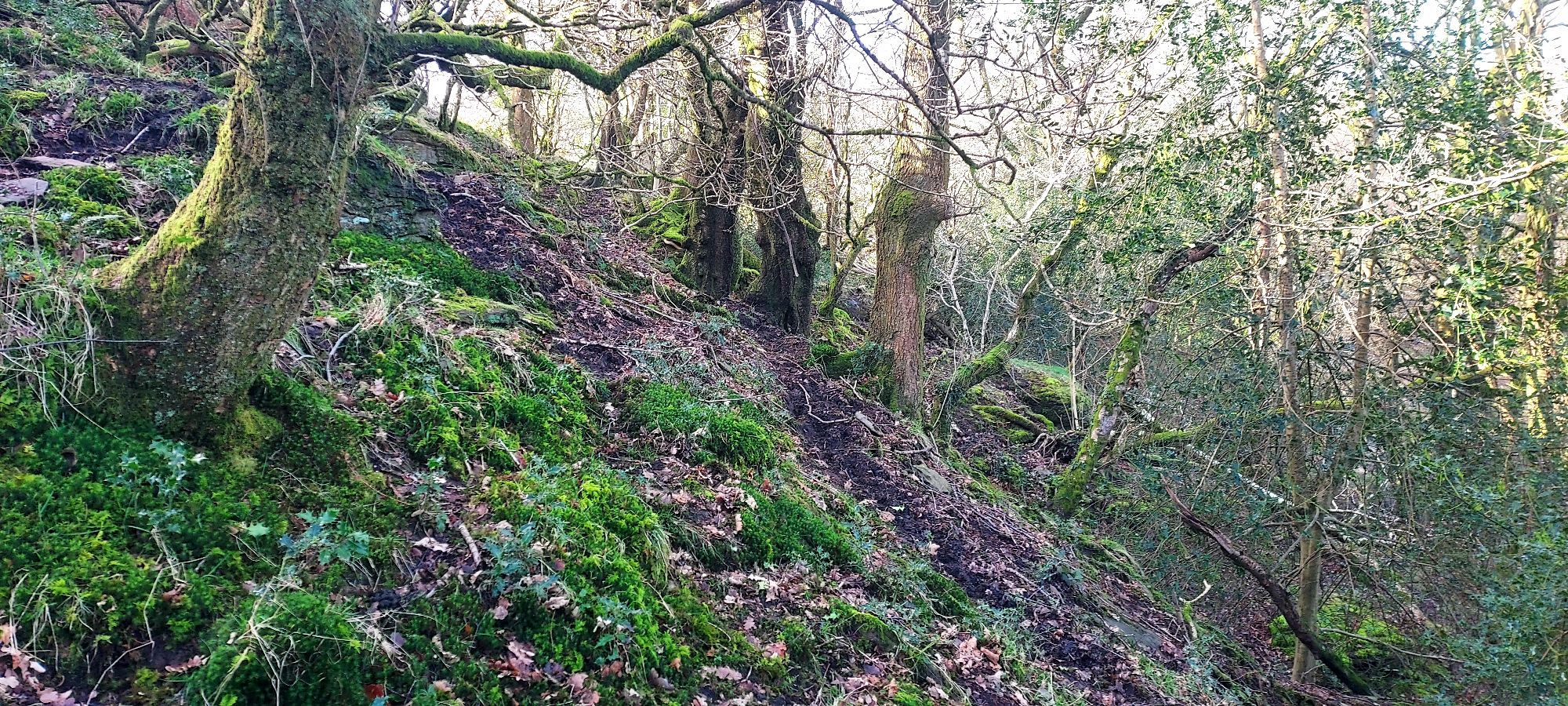
Ahead of me, and more in keeping with the direction of the path on the map, is a solid bank of dry bracken, neighbouring precariously perched trees ascending steeply up a muddy bank.
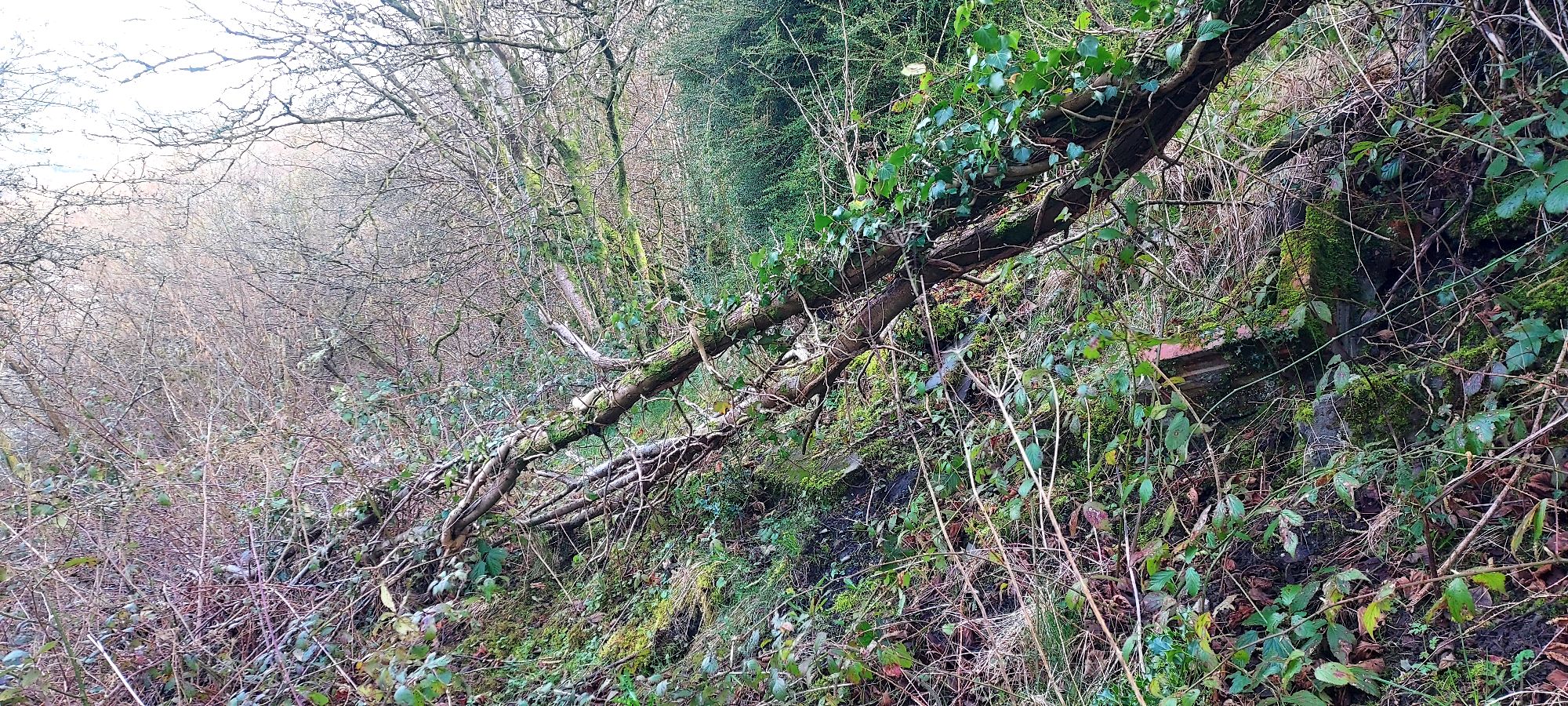
I decide to proceed directly through the jumble of tree branches up the bank. It seems I have yet to learn my lesson about grabbing dry branches for support, and I perform a variety of flailing armed woodland dances as the dry branches snap beneath my fingers.
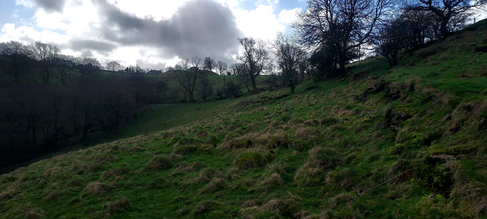
Looking back down the slope, I see the fallen oak I climbed over last summer way below, and looking ahead, after fifty metres or so, a barer horizon begins to appear.
Either side of me desire lines wind across the hill, each looking alluringly purposeful. Settling on a direction is a game of chance here.
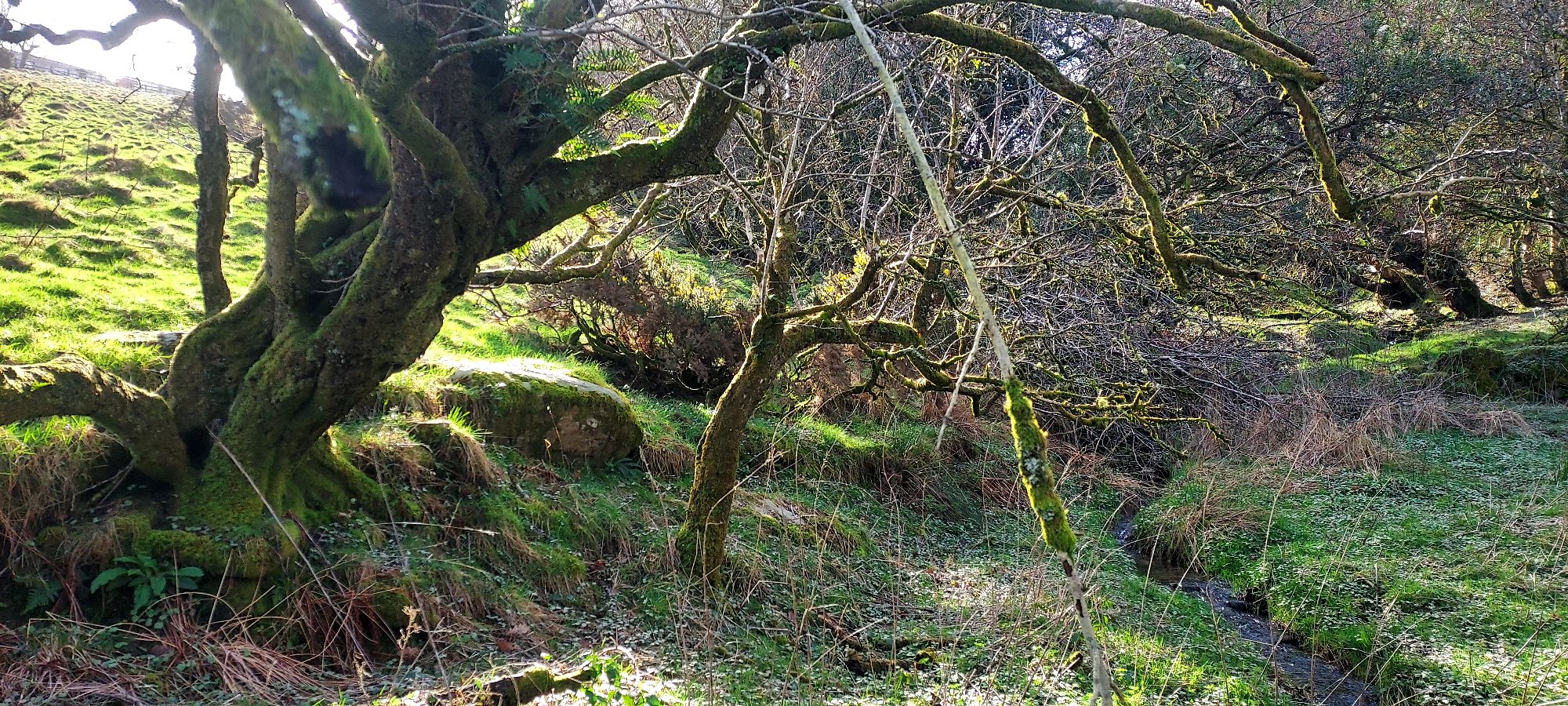
Low sunlight pools into open stretches of land away to my right, reflecting off jewel-like deep green holly, and sending slender golden trails through bronzed leaves.
Somewhere in the woods a secretive Jay emits a rusty call. I stand on a steep ledge next to huge moss covered boulder, listening to the birds, allowing momentary immersion in this hidden pocket of nature.
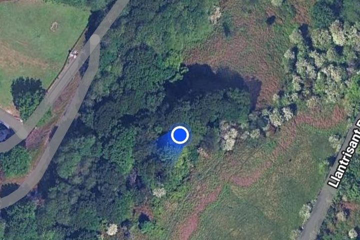
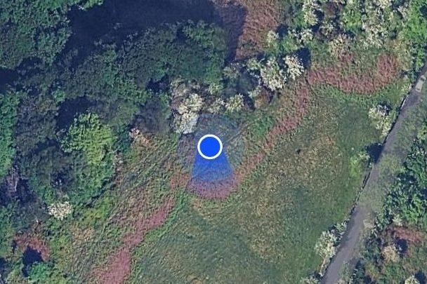
I check where I am on google maps, which shows me as a dot in a forest, but if I keep climbing I should soon reach the open ground above where a number of other pathways cross.
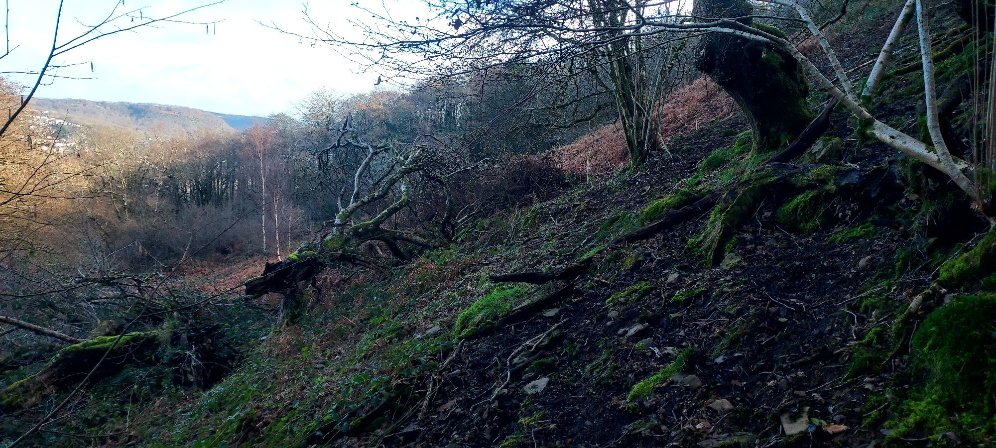
Several directions turn into walls of solid bracken and dead brambles, but after going underneath some tree branches up a muddy slope, I suddenly arrive at a solid pathway, crossing the hillside above, which a little further along, seems to gently divide into two forks.
Heading left should take me in the right direction for path 77, the Graig route, but having stepped out into the full glorious sunshine on the hilltop, I am not in a hurry, so I head off in the other direction, where several paths criss-cross the open land.
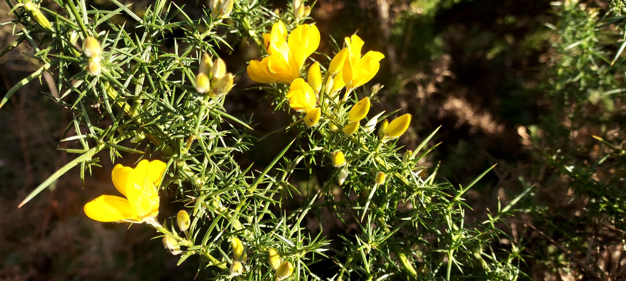
In the wide blue skies above, three buzzards are wheeling and calling on the thermals -the spring sunshine is undiluted – and I can feel its warmth on my face. As I walk amongst the crunching bracken and sparkling green grasses, occasional clusters of gorse flowers burst brilliant yellow into the waking landscape.
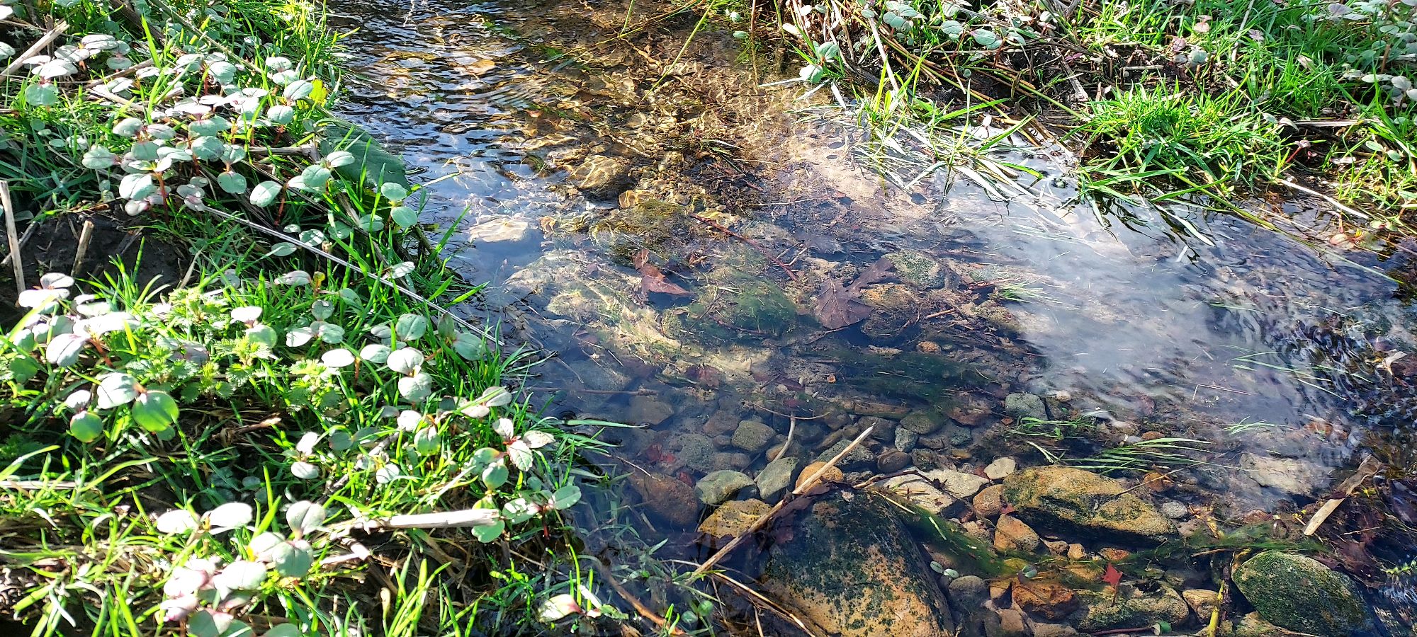
I meet the four-way convergence point that links pathways 76, 77, 78 and 80 on the map, and am immediately drawn to follow path 80 down to the bottom corner of the field, where a small stream crosses springy moss covered landscape before wending it’s way back into the woodland.
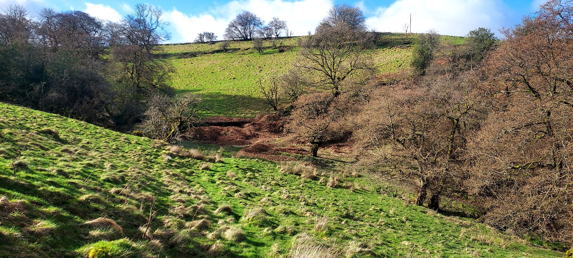
The waters run crystal clear, luminescent in the morning sun, with clean green edges flanking their course. They pass a tumbledown dry stone wall, softened with moss, and wind gently into a glade of trees that looks like something from a fairy tale.
I jump over the little stream, and on the other side can see an indisputably clear path heading up and beyond toward the farmhouse. A delightfully obvious mud track through an open landscape up a hill.
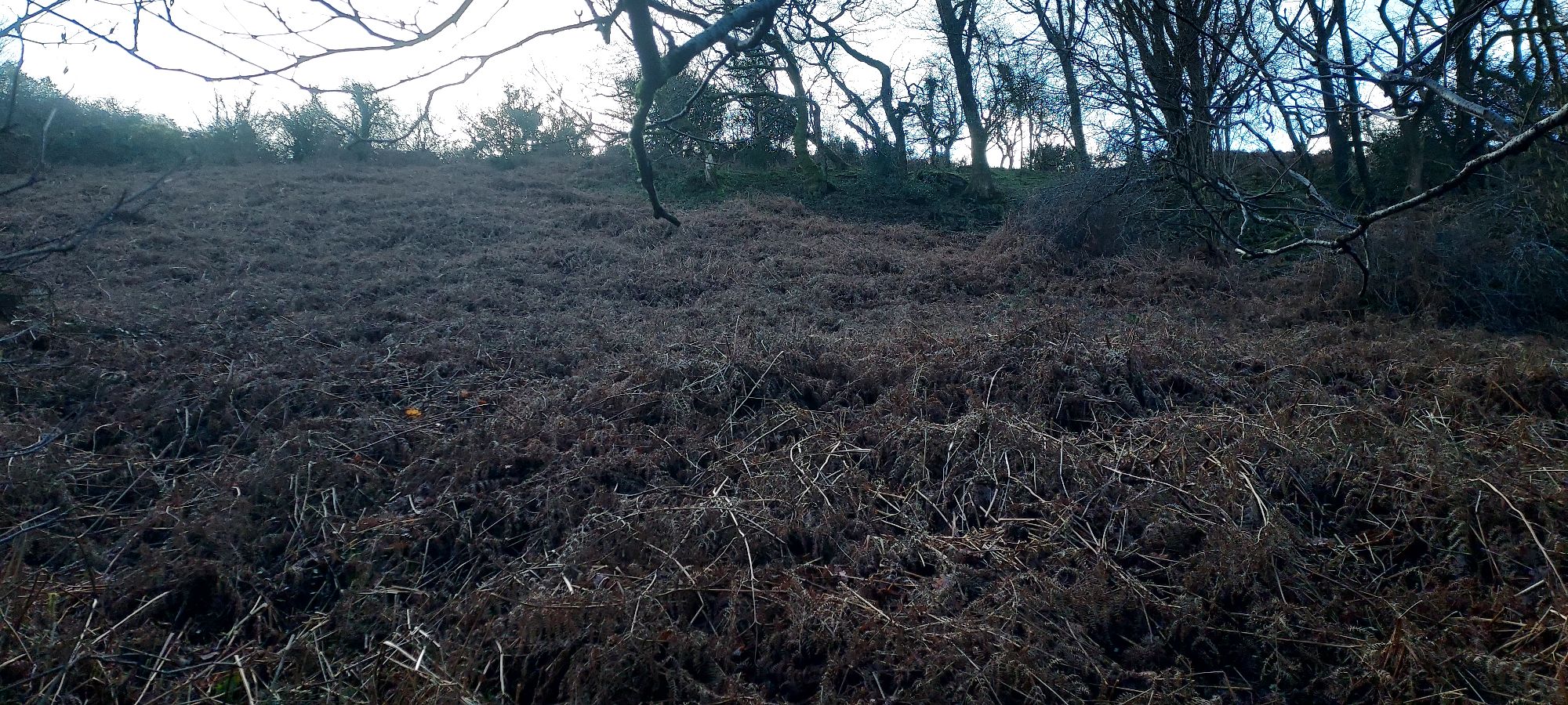
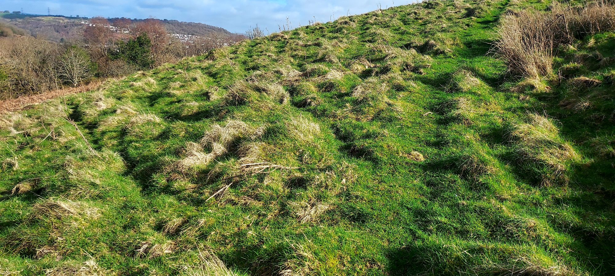
I realise with a shock that this is path 81, something I attempted to look at last summer, but which unfortunately at the time looked like this…
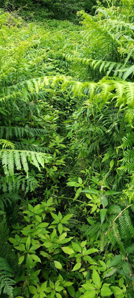
The landscape is so very different here in early spring. Unable to resist, I follow the track up the hill, and trace a little branch of it which wends all the way around the outside of the farmhouse.
Pathways from this other side should join a previously unexplored track along Nant Gelliwion, beyond Shoni’s pond – but that’s an expedition for another day.
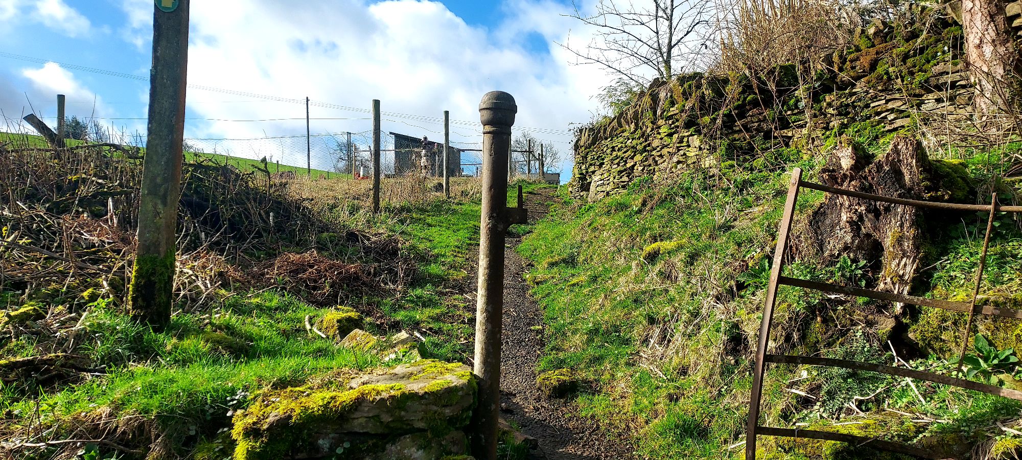
On one side of the path is a reassuring kissing gate, I recognise it as the gate I arrived at from the Penycoedcae lanes side, in Season of Mists and Fellow Bootiness, a lovely accessible farm track lies on the other side, with stunning views over the rolling hills of the valley.
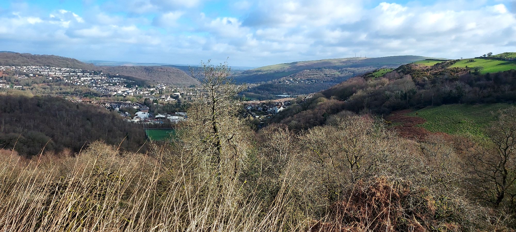
The vista from this high point at the farm is glorious, fluffy clouds are now dotting the blue skies, casting spectacular swathes of moving shadow onto the mountains beyond.
In the other direction, tussocky open hillside sweeps invitingly back down to the stream, and up to the lanes of Penycoedcae beyond.
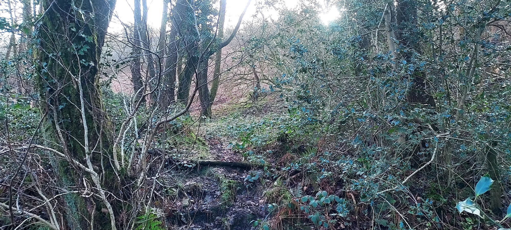
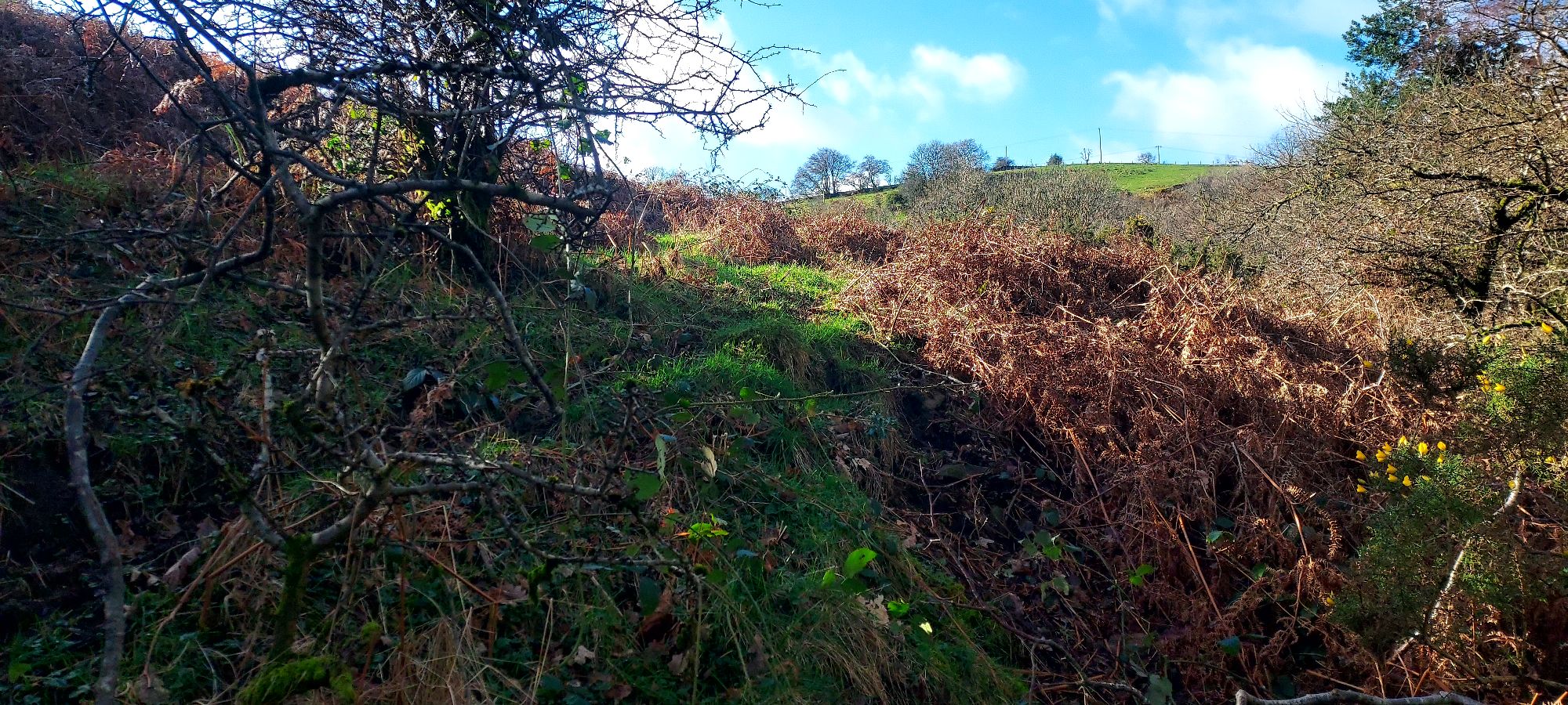
I want to follow the open landscape, but I came on a mission to discover path 77, apparently AWOL, and I need to have a go, so I retrace my steps back over the stream into the open field, and follow the lowest of its forks, skirting the edge through bracken and gorse along the treeline.
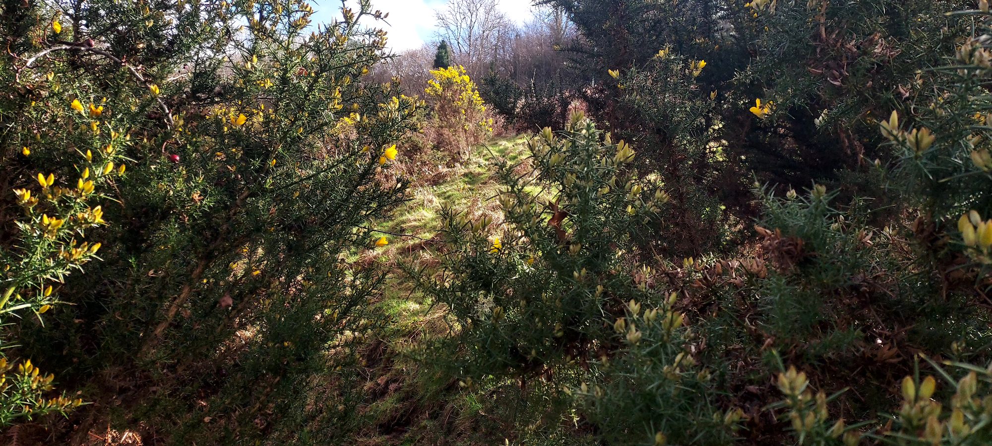
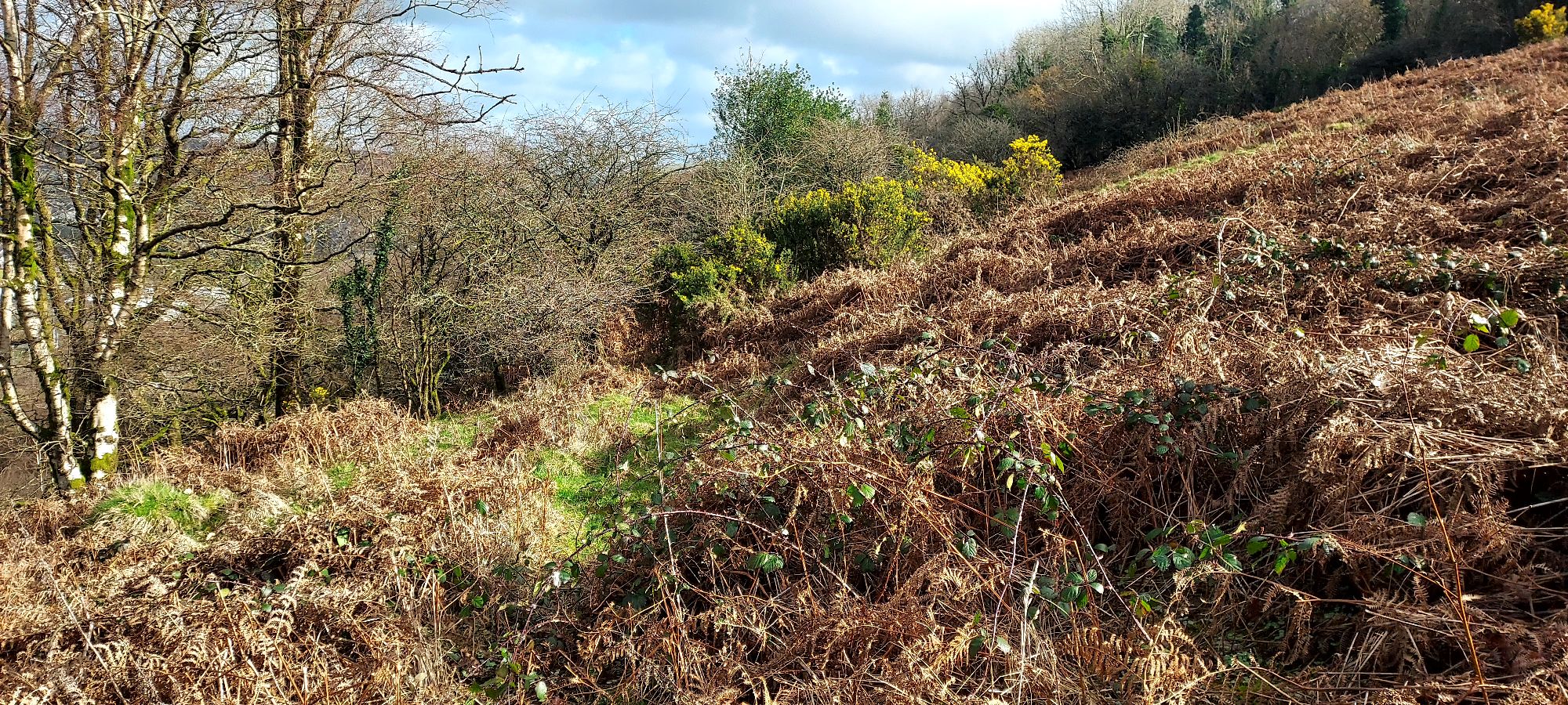
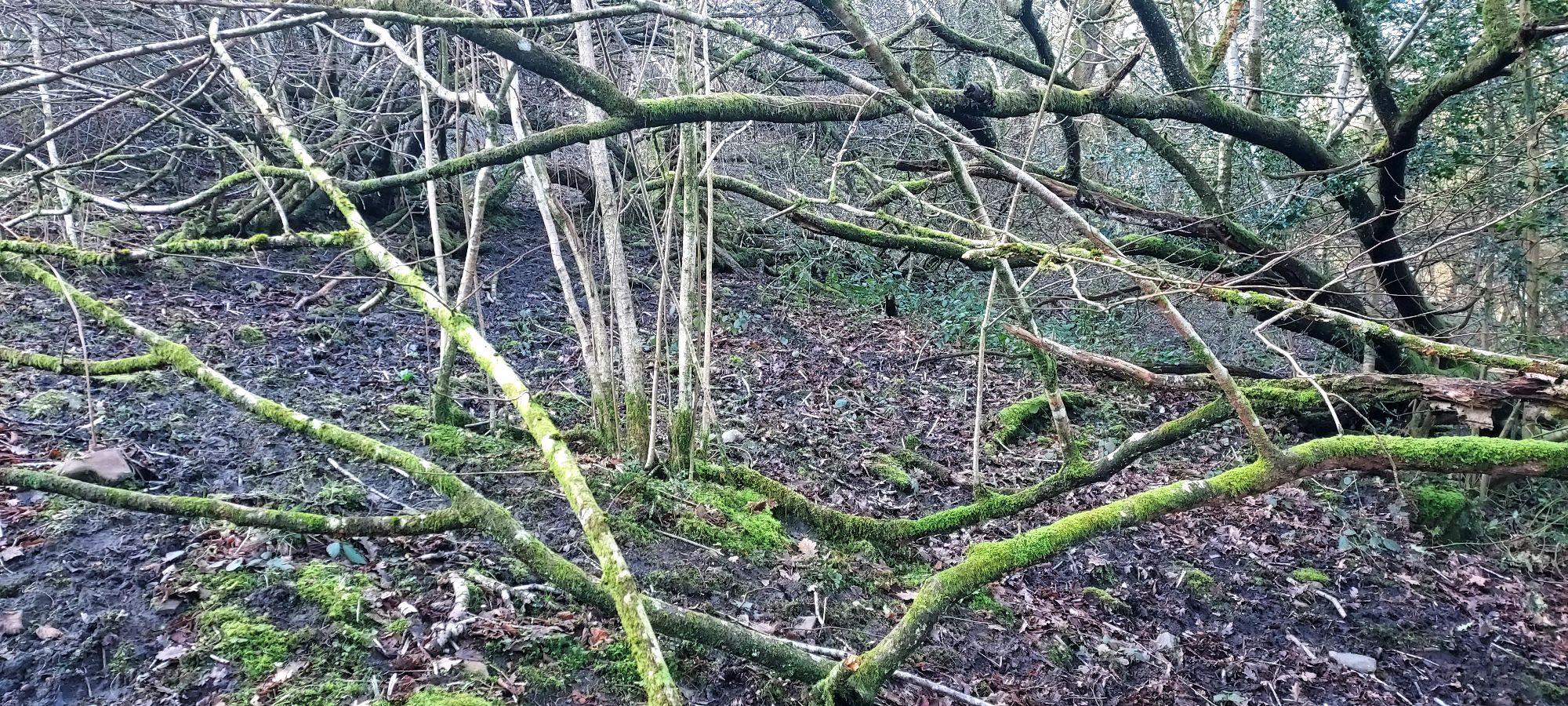
This is going well, and I feel quite excited – albeit a bit overgrown, there is definitely a path here. I once looked at this path from the other side – its entry point at the top of the Graig on Llantrisant road.
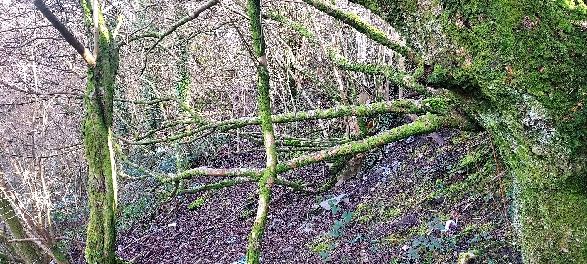
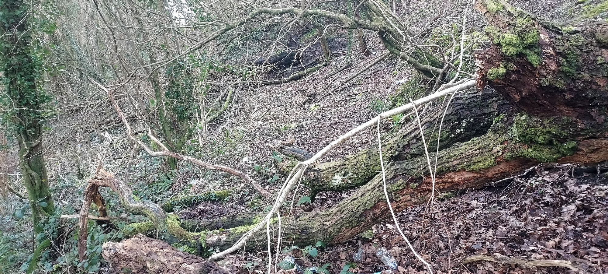
At that time I saw nothing but a mass of impenetrable brambles and fallen trees, and I suspect the problem section commences as soon as the path hits the edge of the woodland. Sure enough, rounding the corner on the sunny pathway I am presented with this:
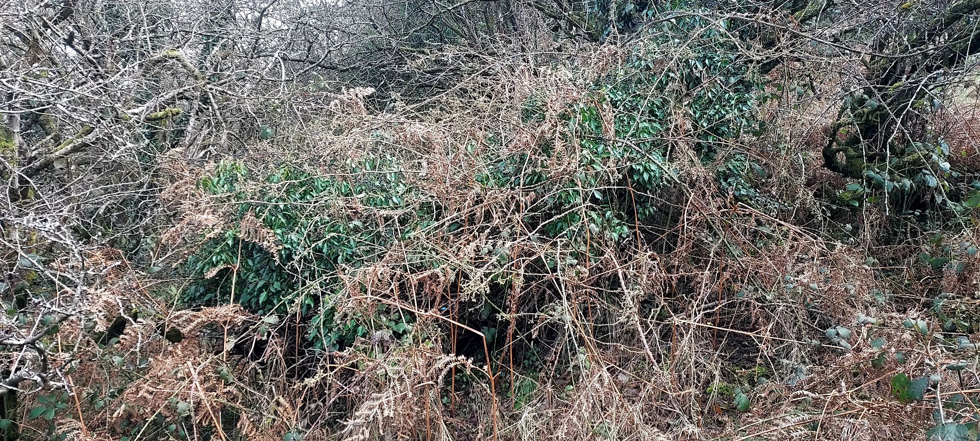
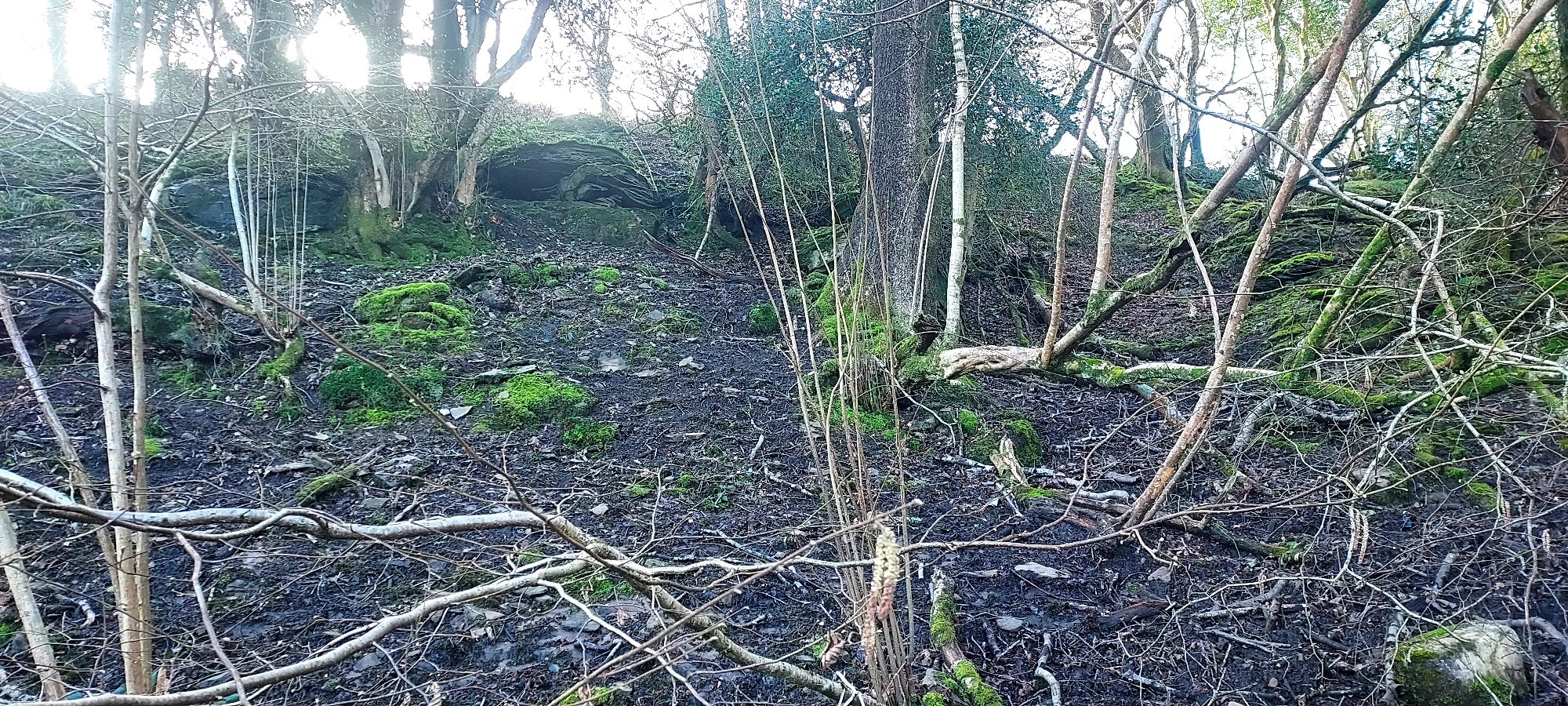
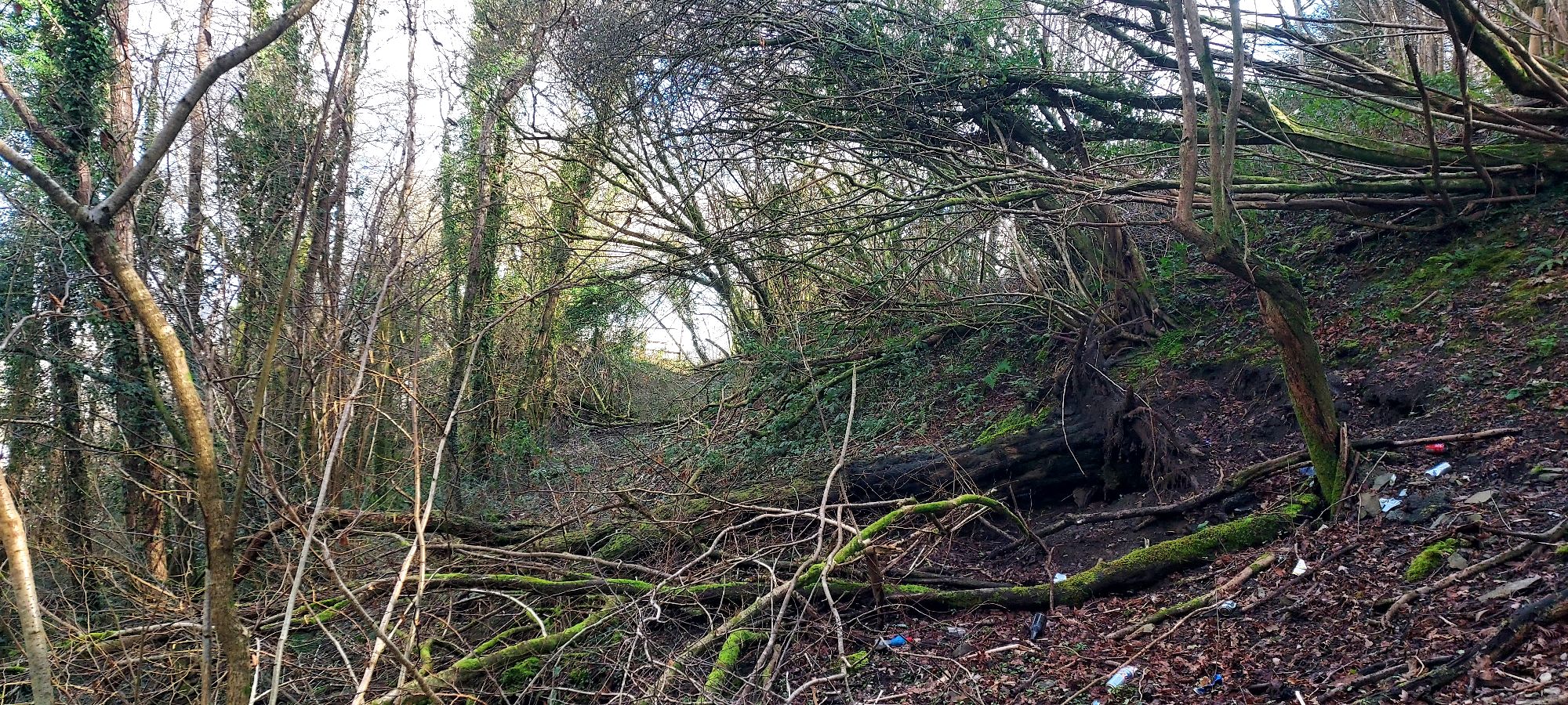
If this is the proper course of the path, I’m not getting through without equipment, which I was in no condition to carry today, but I keep investigating to see if there is another way in. I scrabble up a slope to my right, and meet something approaching a pathway, or a least or more open entry to the wooded section.
It doesn’t stay open feeling for very long however, and in addition to the numerous tree branches to climb over or through, the drop off to my left is steep, and the mud slippery.
I find myself suddenly close to the road, the view of a couple of houses ahead making me think I am closer to the exit point of the path than I actually am.
As I struggle to keep my balance going forward, there is a distressing amount of litter underfoot, and I can’t fathom why it’s there, whether stuff has been thrown from cars or someone has been small scale fly tipping here over the fence.
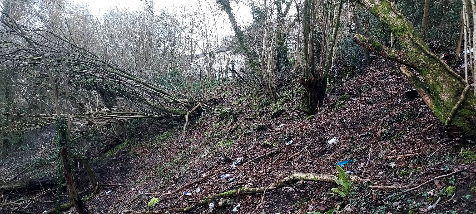
The slope gets steeper to the left, and looking down, I can see what looks like the original pathway below me, so presumably the entrance point must have been somewhere around that thicket I came up against before.
Before I manage to reach it, the litter worsens, and in a steep dell in the woodside several household appliances and office chairs (what is it with office chairs?) have accumulated. It makes me sad that this should be a beautiful public path through a thriving little wood.
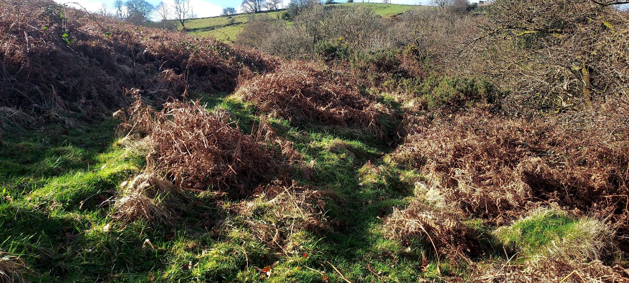
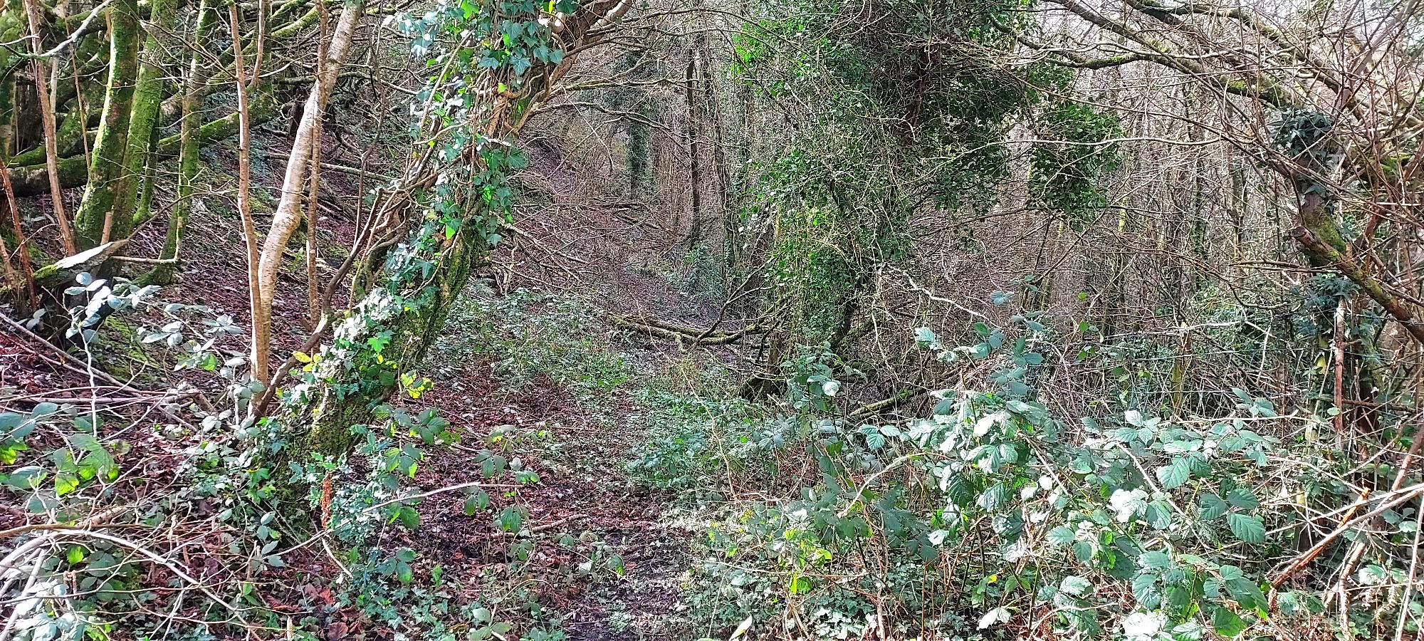
I reach the main track, briefly following it back in the direction I came from for the purposes of investigation, seeing that it becomes increasingly narrow and overgrown the further it goes.
I retrace my steps finally back towards the exit point, crossing the large and small fallen trees and branches it is strewn with.
They are far from insurmountable, but in summer, with no maintenance, an attempt on this path would be a different prospect.
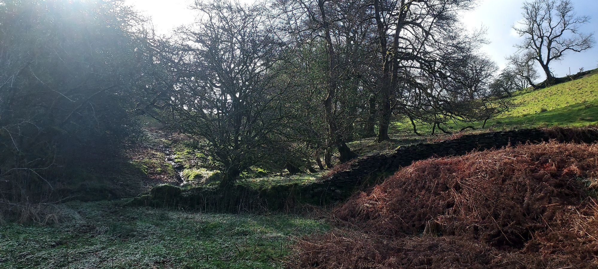
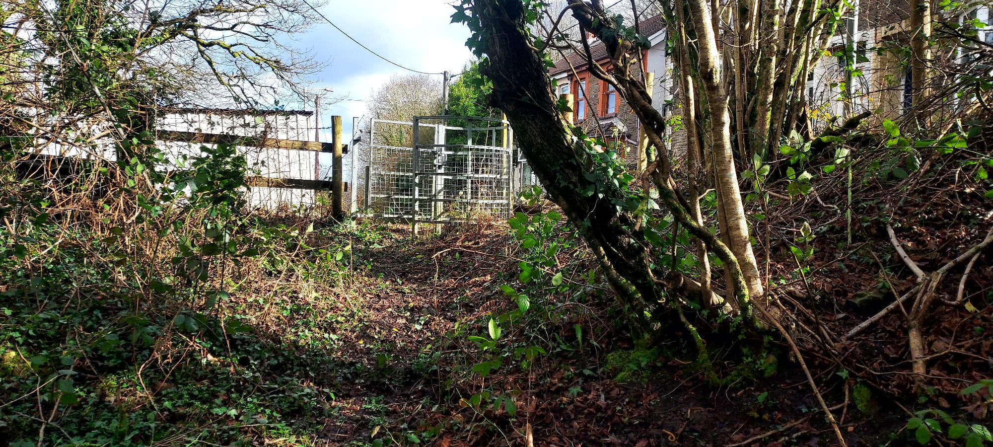
The kissing gate at the paths exit finally appears and I emerge with some relief into the sunshine.
I have just traversed a relatively short stretch of a public right of way, which if more accessible, provides safe pedestrian access to the town from the village of Penycoedcae, without having to tackle the pavement-less and perilous main road.
Not only that, but both of these pathways provide close access to stretches of beautiful open hilltop, rambling woodland, babbling streams and fields that in summer would be decked with wildflowers.
They provide access to inspiring views, abundant nature, and the doorstep therapy of our wonderful valleys landscape.
This access needs to actually be, on our doorstep.
We all need to become squeakier doors about public access to nature and walking routes. And whilst we’re doing so, the best way to keep a footpath alive?
Just keep walking…

Thoughts or ramblings welcome here…